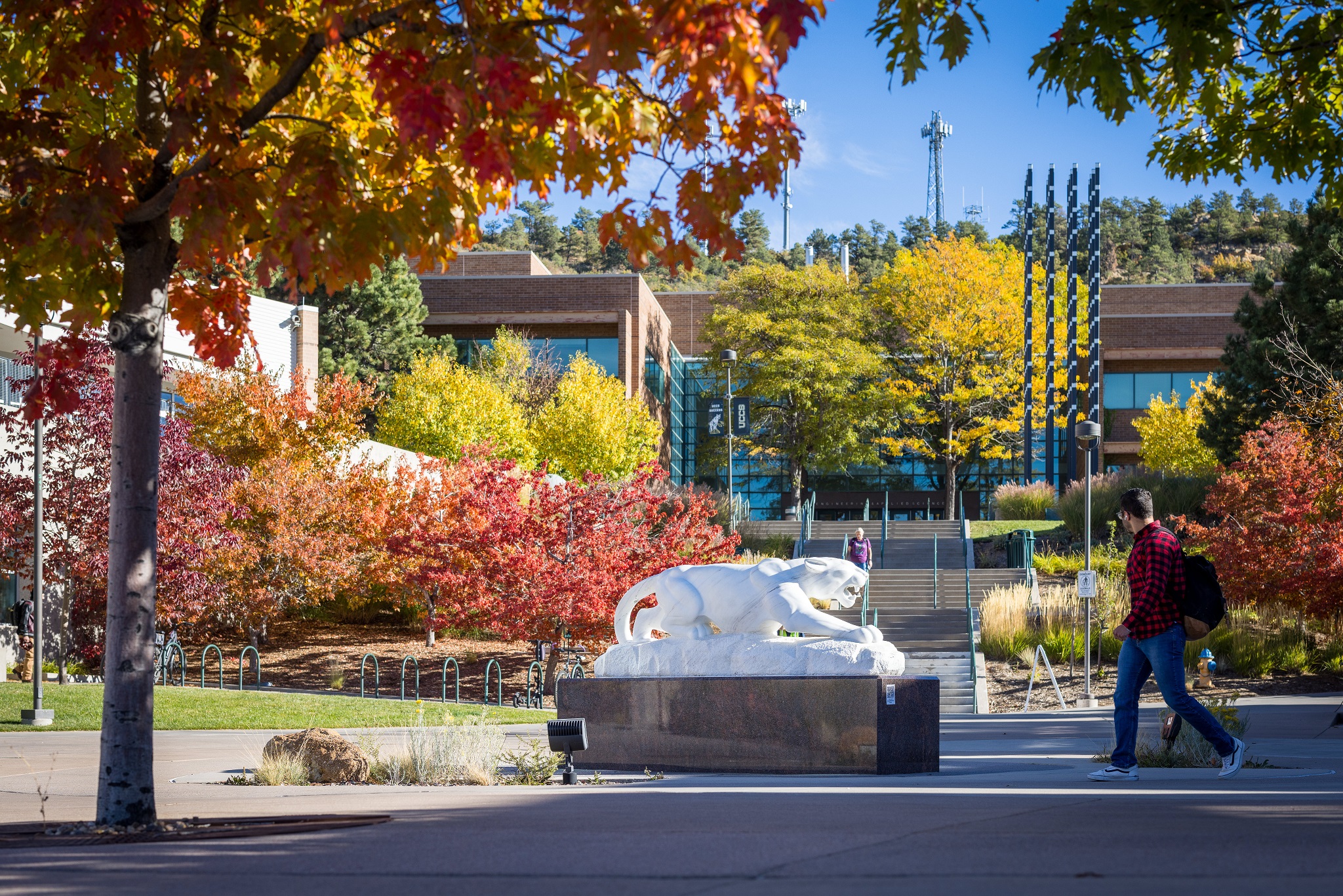
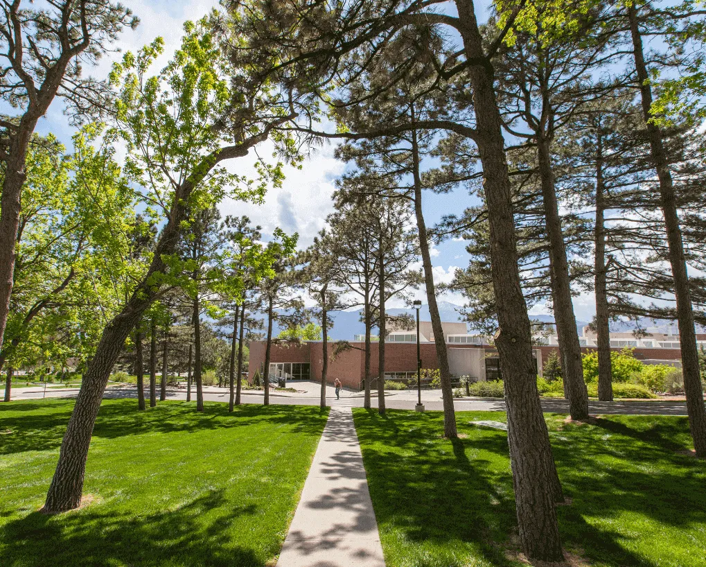
Air Quality + Tree Mapping
Spring 2019 - Landscape + Air QualityProject Overview
This project will conduct an inventory of our campus urban forest and will develop a campus tree map and database that will identify all trees at UCCS including: age, height, total carbon-sequestration, energy profile, diameter at breast height, genus, species, and valuation. This database will be utilized as an educational research resource for our campus and potentially utilized for campus tree care.
As part of the education element of this project, we will integrate a tree cookie display that will show the historic climate of the region. The installation of an air quality monitoring station will help to engage students about our campus air quality and the way our tree canopy plays a role in the air we breath.